
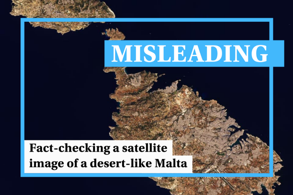
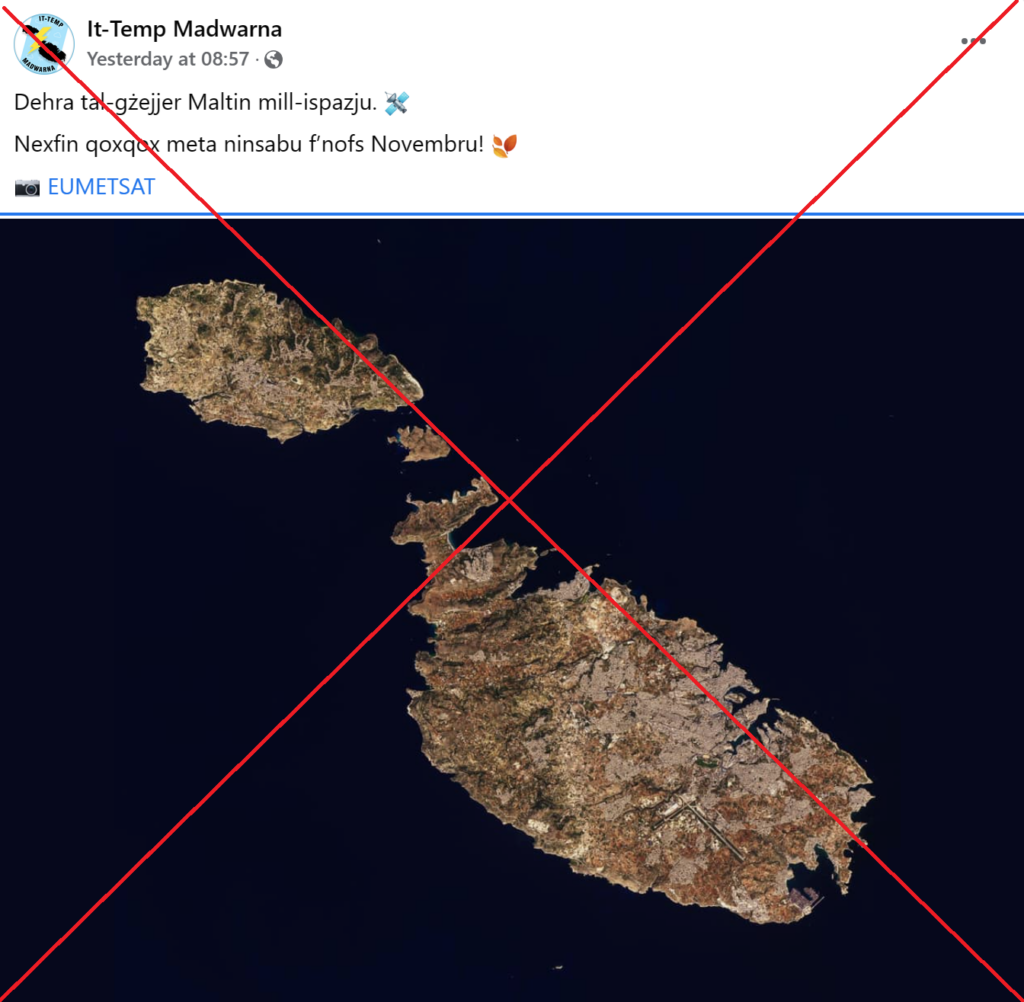
An alarming aerial photo of a bone-dry Malta was widely shared on social media on Thursday 16 November, claiming to highlight how the persistent drought over the past months is leading to desert-like conditions across the country.
First posted by the Facebook group It-Temp Madwarna, the photo quickly went viral, gaining over 1,000 likes in just a few hours and being shared by several online portals such as Lovin Malta and Malta Daily.
However, the photo does not actually show Malta’s conditions this November. The image is over a year old and was taken in late October 2022.
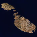
The photo comes from NASA’s Earth Observatory images, a series of satellite images taken by the space agency.
It first came to public attention when it was used in an online puzzle game by NASA’s Earth Observatory website in early December 2022. In the game, readers were shown a snippet of the image and asked to guess where it was.
The full image was released a few days later, on 20th December, when the winner was announced. In an article about the photo, NASA explained that the image was taken on 27th October 2022 using the Operational Land Imager-2, a scanner that allows for natural-colour images to be taken.
The photo is used to discuss the colour of Malta’s limestone.
The image later made its way to several other websites, most prominently Wikipedia. It was uploaded to Wikimedia Commons on 1st January 2023 and added to the Wikipedia page on Geography of Malta on the same day. It is still the main image used on the page to this day.
Compare the original NASA image and the lower-resolution version that was shared online yesterday below.

Not only is the topography and colouring of the two images identical, but the several vessels dotted around Malta’s coastline are also in an identical position.
Driest October in a century
In reality, it is entirely possible that a similar image taken today could show even drier conditions than those shown in the NASA image.
Last month was the driest October recorded in over a century, with only 0.2mm of rain, according to the Meteorological Office.
Weather conditions have been just as dry throughout November, with none of the rain showers that are typical of these months.
Concerns over desertification have intensified in recent years, with many southern European states believed to be at high risk.
Verdict
While Malta’s current weather conditions remain alarmingly dry, the image being shared does not actually show Malta’s current topography.
The image was taken in October 2022 by NASA and first shared on NASA’s website in December of last year.
Early this year, the image was shared across several other websites, including Wikipedia.
The claim is therefore misleading as although the claim may, in itself, be partly or entirely true, it is presented in a manner that is not representative of the facts within a broader context.
The Times of Malta fact-checking service forms part of the Mediterranean Digital Media Observatory (MedDMO) and the European Digital Media Observatory (EDMO), an independent observatory with hubs across all 27 EU member states that is funded by the EU’s Digital Europe programme. Fact-checks are based on our code of principles.
Let us know what you would like us to fact-check, understand our ratings system or see our answers to Frequently Asked Questions about the service.
A shocking image of a bone-dry Malta went viral on Thursday.
Copyright 2023 Times of Malta. All rights reserved.
Originally published here.